About
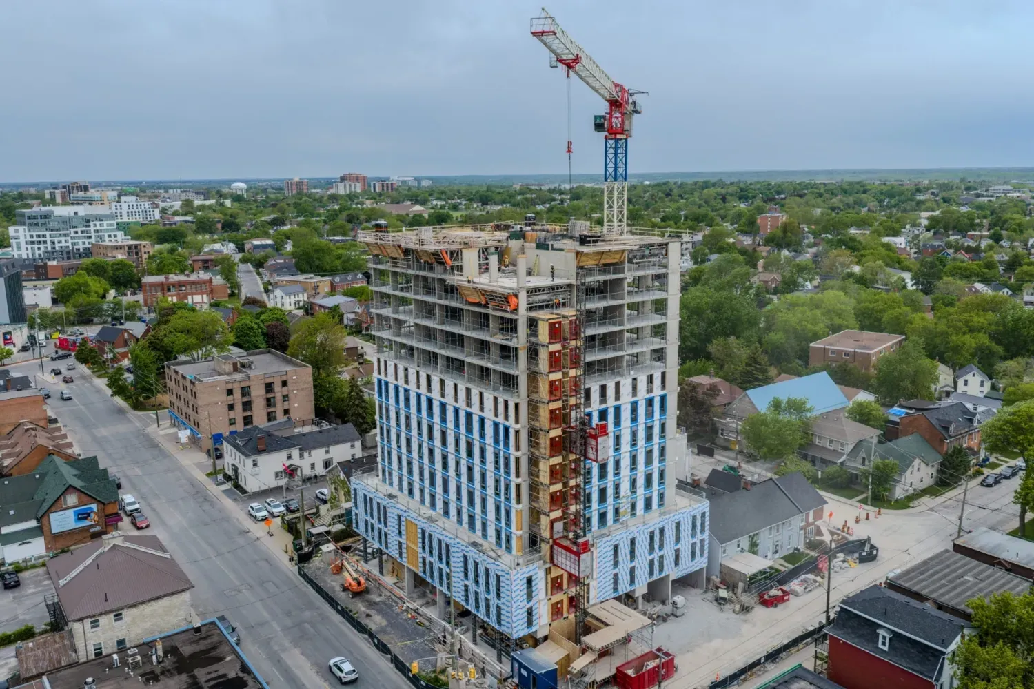
Delivering mapping, inspections, and aerial imaging for construction, infrastructure, and commercial projects. Orthomosaic maps, 3D models, stockpile volume calculations, and digital twin deliverables for construction, engineering, and municipal projects. Detailed inspections of roofs, utilities, towers, bridges, infrastructure, and hard-to-access assets. 2D and 3D maps of aggregate pits allows for precise recording of aggregate removal and inventory of stockpiles.
Portfolio