About
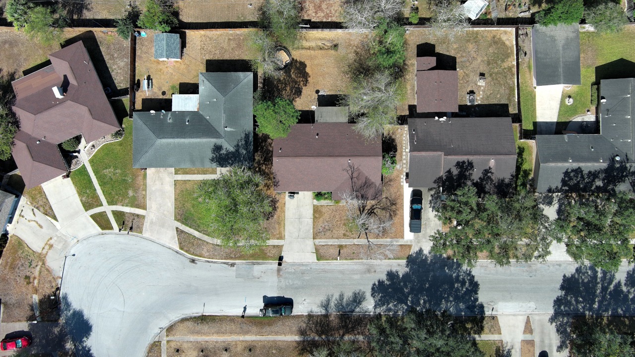
We fly drones for planning-grade mapping across ranches, construction sites, and commercial property in South Texas – not boundary surveys and not for determining property lines. High-resolution, georeferenced orthomosaic maps of your tract for layout, planning, and clear communication with owners, lenders, and crews. Drone-derived elevation models and contour lines to understand drainage, pad locations, and access – especially on caliche roads and low fence lines that like to flood. 3D site models and cut / fill volumetrics for stockpiles, pads, and work in progress so you can defend quantities and change orders.
Portfolio