About
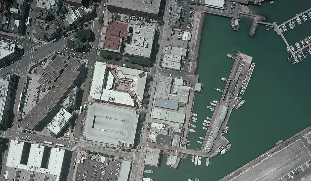
A leading aerial mapping and geospatial services company We serve clients across North America, with a concentration in the western United States. Our team handles projects of virtually any size and scope for both private and public entities of all disciplines. Vertical Mapping Resources teams with a select group of both digital aerial collection and aerial photography providers in order to offer a diverse fleet of planes and equipment that have the capabilities to efficiently perform on any project, within most geographic locations in North America. The majority of our projects are flown using aircraft equipped with state-of-the-art digital sensors such as the UltraCam Falcon Prime (UCFp) and UltraCam X (UCX), or precision photogrammetric cameras, each equipped with forward motion compensation (FMC). FMC is a camera function that compensates for the perceived movement of the earth below. This significantly reduces blurring and results in the sharpest photographic image possible.
Portfolio
More Images